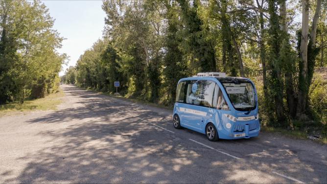
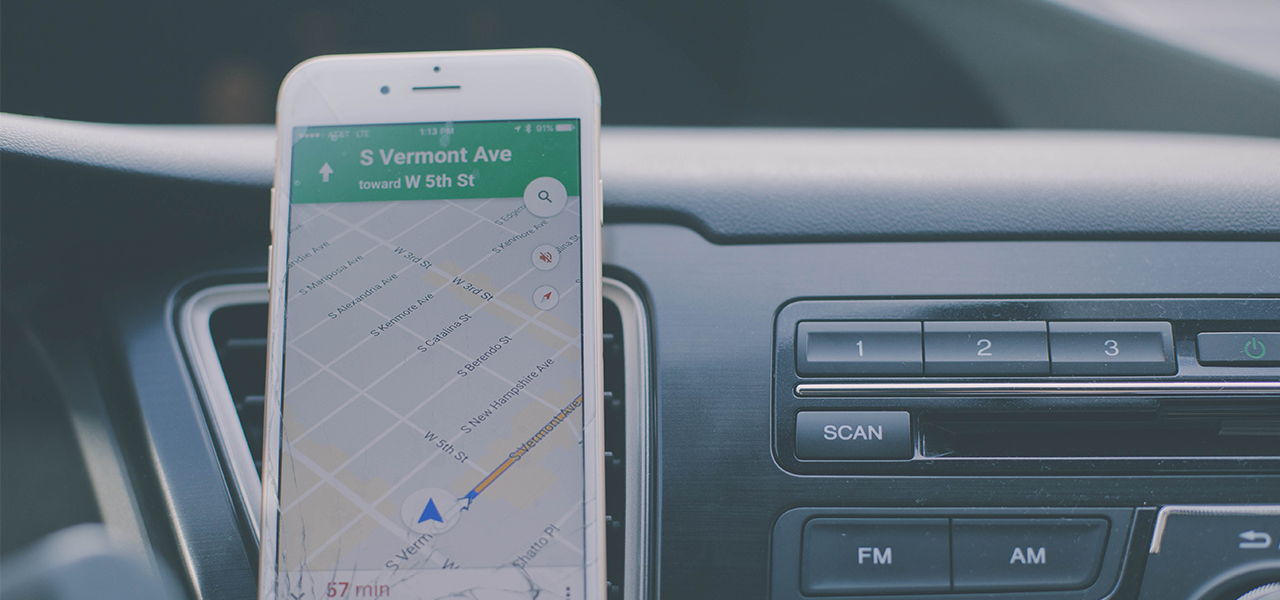
 In the future, autonomous cars won’t necessarily use Google Maps to navigate roads. The Mountain View-based firm, and legendary pioneer of globalized digital maps, won the first industry battle in the digital map war by “blanketing the globe with its street-mapping cars and with software expertise that couldn’t be matched by navigation companies, automakers and even Apple,” or so Bloomberg observes. However, there’s a new competition underway, targeting high-definition street maps needed for on-board navigation in driverless vehicles.
Indexing the world in real time
This “highly precise” HD mapping system details down to the nearest decimeter – even centimeter, ensuring that the vehicle is orientated as data is processed on-board, “to minimize communication with the cloud,” explains Nvidia. In comparison, the mapping system delivers data collected by the vehicle’s sensors to the HD mapping data.
More than just a physical index, the map truly becomes an information system, mixing data on traffic (including accident detection), weather conditions, road signs, temporary road works, road damage, and the probability of finding a parking space, etc.
Autonomous and connected car manufacturers aren’t the only ones waiting for HD mapping: all smart city operators will be needing it for their real-time services that, more often that not, are geolocated.
One of the biggest challenges facing this impending competition is that these HD maps will require almost constant updates, and this “almost real-time” requires a powerful infrastructure (storage, data processing and dissemination).
Bigger than the search engine industry
The automobile industry and manufacturers are launching their own HD mapping initiatives, either selling directly (Ford, General Motors) or supporting newcomers on the scene (Argo AI, Mapbox). Mobility giants from the digital world are not to be outdone either: Waymo, a subsidiary of Alphabet (who, for that matter, have Android Automative at their disposal, an OS for connected cars), and Uber are also in the running on the quest for a market that Baidu estimates will be “much bigger” than the search engine business.
Other mapping specialists are getting into position, even if they don’t have access to a fleet of autonomous and connected cars to collect the necessary data.
Amongst them feature mainly specialists in the world of navigation and mapping, like TomTom NV and even Here (formerly under Nokia but now part of Audi, BMW, Mercedes and Intel). Here are the associated parts manufacturer for Mobileye’s driverless cars, and in 2016, they launched their Open Location Platform, a crowd-sourcing platform gathering data from partners, passing on their data in exchange for access to mapping. The trio of German automobile manufactures paved the way, and 2018 marks two additional steps: all new connected BMW and Volkswagen vehicles put into circulation in 2018 will start collecting data, and the system will be open to any company who wants it. In the meantime, Mobileye, who was bought by Intel, is positioning themselves opposite Nvidia in the race for autonomous vehicle solutions, and are simultaneously racking up new partnership announcements (municipalities, transporters…) to speed up its data collection.
Baidu is following a similar strategy: like Android back in its day, the Chinese have been offering Apollo, OS for autonomous vehicles, free to anyone who wants to use it, since July 2017. In exchange, Baidu only expects their roughly 100 partners to hand over their data. Much more than in the connected dashboard battle, the main ingredient in this war is data, and more precisely, how it’s collected.
Maps, the territory and… traffic signals
Whatever the approach, mapping for autonomous vehicles requires substantial deployment and investment, like a fleet of autonomous vehicles fitted with lidar and other sensors, or failing that, the capacity to build solid partnerships. And above all, algorithm engineering and scientific modelling knowledge that’s ahead of the game is a must.
In short, everyone follows their own path. But for now, without any standards or the lack of any other mapping strategy, numerous uncertainties remain. Will on-board HD maps be enough, or will the physical world (the road itself, its infrastructure and signage) soon need to be kitted out in order to interact with such machines? How will mapping owners interface between shared connected infrastructures and all vehicles? And as for mobility data and smart services, should they be owned by everyone, or at least be considered as of general interest and consequently open to all? And should the interaction points between vehicles and infrastructure be open source for these new mapping systems? The road for autonomous cars remains decidedly paved with incertitude.