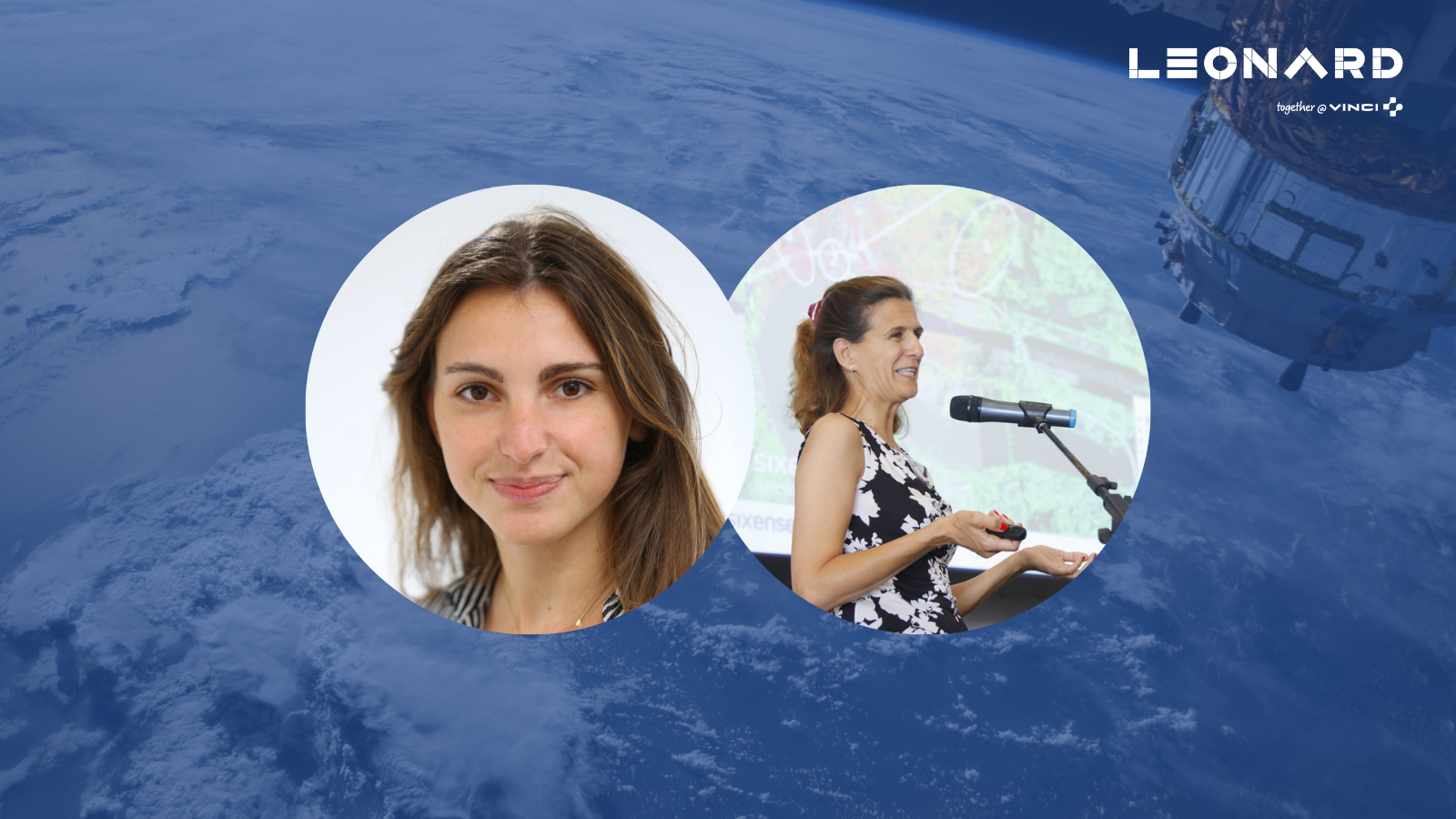
Atlas InSAR is SIXENSE’s innovative Radar Interferometry (InSAR) solution to measure ground deformation and structure stability from space with millimetric precision. This tool was developed in part as part of Leonard’s AI program.
EarthWorks is ASTERRA’s Synthetic Aperture Radar Polarimetric (PolSAR) solution to map and measure subsurface moisture. Surface and sub-surface water management is probably the single most important factor in determining if, when and where a geotechnical failure will occur on a highway, railroad, earth dam and similar critical infrastructure.
Formerly known as UTILIS, ASTERRA was part of the 2021 cohort of LEONARD’s CATALYST program.
What type of customers do you address and how are you helping them?
Blanca Payàs: Let’s take an example. I want to build a high-speed railway between two cities; before I do so, I need to know if and how much the ground has been moving for the past years to detect alignment vulnerabilities. I also need to know the movements during construction and after construction, when the railway is operational.
Earth Observation data can provide useful spatial, thematic and quantitative information at all stages in the life of an infrastructure asset. From the very earliest desk study, in the establishment of a baseline and in site investigation, through construction and maintenance, to the final decommissioning of an asset, Atlas InSAR and optical data and techniques can be employed, as a matter of best practice, to gather as much quantitative information about the asset as possible. In fact, time-series Atlas InSAR methods provide the only cost-effective way that precise and accurate measurements of ground motion can be recorded over very large areas, over the same interval, repeatedly, over a prolonged time-period (as well as retrospectively).
Our customers are mostly in the world of civil engineering, mining, oil & gas, natural hazards.
Daphne Tapia: Using technology that is used to look for water on other planets, ASTERRA analyzes satellite imagery to detect water leakage from pipes, earth dams, embankments seepage and blocked drainage.
EarthWorks Road assesses underground soil moisture conditions across vast sections of roads system simultaneously, with frequent temporal coverage allowing change detection over time, without any sensors or devices on the ground.
EarthWorks points out areas of concern and potential failure locations at very high spatial resolution so that immediate and long-term problems can be found, and preventative repairs made, before more expensive damage and safety issues occur.
What is your impact in terms of sustainable goals?
Blanca Payàs: Satellite Earth Observation services and its recent advancements are transforming the way companies and governments use satellite imagery. Delivering insights at weekly or even daily pace of changes on earth, these data set power sustainable decision-making in many industries and offer promising prospects for countries to set up evidence-based development policies for an optimum management of terrestrial, coastal and marine resources.
As no equipment or infrastructure is necessary on the ground, the impact of Atlas InSAR technology on the planet is zero. Not including the building, launch and operations of the satellites, of course, but we are not the owner of the satellites.
On the other hand, Atlas InSAR provides a vast amount of valuable information without going into the ground, that means lots of savings in terms of human activity, traveling and manufacturing, transport, and installation of instruments.
Our customers are Engineering companies, Constructions companies, Asset Owners, or governmental departments. In terms of sectors, our services are mostly applied in the world of civil engineering, mining, oil & gas and natural hazards.
Daphne Tapia: ASTERRA products contribute to at least to 3 of the 17 Sustainable Development Goals (SDGs): clean water and sanitation, industry and infrastructure innovation and climate action. We believe that sustainability is not only part of our business strategy, but that is also guides our mission. With technological innovation, we can help public and private sectors overcome major water and infrastructure monitoring challenges.
Climate change is impacting the frequency and intensity of extreme weather events, such as heat waves, droughts, and floods. ASTERRA helps customers identify and locate vulnerabilities on critical infrastructure, making it more resilient to severe weather from climate change.
To date, ASTERRA technology has saved over 210,830 million gallons of potable water, reducing carbon dioxide emissions by 108,339 metric tons, and saving 423,200 MWH of energy.
How unique is your technology compared to classical satellite imagery?
Blanca Payàs: The kind of satellite image we use are not familiar to the human eye. We use Radar (Synthetic Aperture Radar-SAR) images and those look more like an X-Ray photography.
The SIXENSE Satellite team tasks Polar orbiting satellites that have onboard SAR sensors to acquired images over an area where we need to measure ground or infrastructure stability. Then, we ingest those images on our processing chain and the Atlas InSAR interferometry processing extracts the phase difference between the images and transcripts these calculations into ground or asset motion measurement points with millimetric precisions.
Our ATLAS InSAR process provides a dynamic map of the ground motion and its evolution in time without the need of ground intervention. Often those maps have thousands of measurement points per km², thus generating large amount of key information to manage their assets or sites.
Daphne Tapia: ASTERRA is the only company that commercializes Polarimetric analysis of L-Band SAR imagery, thus providing insights not available from anywhere else.
Rather than provide predictive analysis, ASTERRA’s algorithms measure actual soil moisture conditions below the surface (beneath foliage and pavement). Our solution for roads is based on technology that’s been delivered to hundreds of water utilities and dozens of other infrastructure installations in more than 65 countries around the world.
What is your roadmap for the year to come? What are the next potential new product features?
Daphne Tapia: Our goal is to provide upgraded and cutting-edge service to customers in the road and water industry, while building out our machine learning and geotechnical analysis capabilities.
Blanca Payàs: Although InSAR has been available for approximately 20 years, it has been the European Commission’s policy decision to offer open and free data access which has recently made its use very popular. Especially with the launch of Sentinel-1A in 2014 and -1B in 2016 leading to the development of an open source, reliable C-band image archive, with near-global coverage and with a revisit period of 6 days in Europe. The current rapid expansion of planned satellite constellations, such as from ICEYE and Capella Space, will offer revisit times as short as hourly, and at sub-metre resolution. Notwithstanding the technological issues associated with these new satellites, such as orbital control and power requirements, InSAR has an exciting future across the infrastructure industries (and beyond).
Our roadmap is to continue our penetration in different markets and sectors whose concern is ground or assets stability, we will ensure to increase the capacity of our processing chains and computing capabilities to be ready for the soon coming daily SAR imagery, so that we can process it near-real time and provide fresh information to our users.
How do you deliver your data? On what kind of platform?
Daphne Tapia: ASTERRA developed and patented geophysical and AI/ML algorithms to extract insights from SAR images acquired by satellites. These insights are presented to customers in the form of soil moisture maps (GIS data layer). ASTERRA also provide a GIS Viewer.
ASTERRA provides an ongoing system monitoring (known as SaaS, “Satellite” as a Service) meaning that ASTERRA shall be responsible to acquire satellite data & populate the portal with the data analysis constantly during the contract terms.
Blanca Payàs: We deliver our Atlas InSAR data through SIXENSE’s BEYOND Monitoring WEB GIS platform. It is specially designed for visualisation of Atlas InSAR data for the support and integration of ground and asset motion results. It provides a set of analytics tools to manage data and discover hidden insights and is designed to transform Atlas InSAR data into rich visuals. In addition, it is capable of handling large amounts of measurements points.
Contacts :
Blanca Payàs : blanca.payas@sixense-group.com
Daphne Tapia : daphne.tapia@asterra.io
