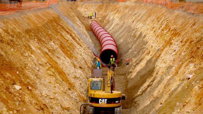
Underground construction is at the heart of all development projects in city centres. It can, for instance, help to overcome mobility and access issues in densely populated areas where the use of a personal car is proving increasingly difficult. Similar technological issues are found in water networks, landfilling and energy storage. Although this market segment has been dominated for many years by European civil engineering firms, these are now facing two new sources of competition: large Chinese companies with considerable resources and companies aiming to transform the business such as Elon Musk’s Boring Company.
Facing these two threats, Marc Hasenohr, director of VINCI Construction Grand Projets’ Tunnel Factory, emphasised the group’s technical expertise in terms of engineering structures, equipment and associated services. To develop these strengths, the Tunnel Factory, an R&D team working out of Leonard, is developing solutions in four areas: product and service differentiation, risk reduction during works, improved safety for skilled workers and nearby residents and, lastly, cost optimisation. They are based on three innovation levers: equipment automation, geotechnical engineering and data science integration.
The innovations developed in the field of geotechnical engineering have led to a systemisation of survey techniques to give the TBM operator an enhanced view of the underground environment. Data science, meanwhile, is used to develop algorithms which, based on 20 years of worksite experience feedback, are capable of predicting phenomena and the behaviour of machines and terrain.
Sébastien Magat and Jean-Ghislain La Fonta gave two other examples of applying data science and geotechnical engineering in underground works.
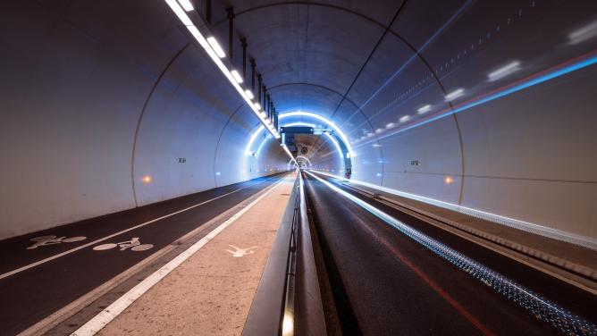
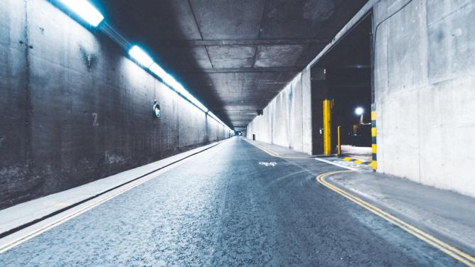
Augmented reality scanner for underground utility networks
Over a number of projects, Sébastien Magat, founder of AVUS and former Leonard intrapreneur, had encountered problems related to the lack of accuracy and reliability of information about buried utility networks. This resulted in almost 60,000 incidents a year and damage estimated at €100 million a year, not to mention the annoyance of nearby residents and physical harm from damage. In view of this, Sébastien launched AVUS, an augmented reality modelling solution, as part of the Leonard intrapreneur programme. AVUS incorporates all the available information about the worksite and corrects it in real time. This is then modelled in the form of a hologram accessible on all platforms.

The information is collected in three stages: aggregation of the information provided by the client (existing utility network drawings), the results of geo-detection analysis and, lastly, information generated as a result of digging the trench. The resulting hologram is very accurate, with a margin of error of about 5 centimetres in the three dimensions of space.
AVUS aims ultimately to support the development of autonomous equipment, facilitate the planning and design of structures, plan emergency responses to natural disasters and model visible elements to facilitate maintenance. The technology has already proved itself in several operations, including the installation of a heating network by Sogea in Paris.
Complementary approaches to monitor underground terrain
While presenting the innovative solutions of Sixense, world leader in monitoring major urban projects, Jean-Ghislain La Fonta emphasised the complementary nature of the technological approaches. Sixense uses four technologies to establish accurate monitoring of the terrain: real-time monitoring of worksites with the aid of sensors, ground movement tracking from space, seismic analysis of underground terrain and a software platform that aggregates and “interprets” all this data.
Real-time monitoring is carried out by sensors at various places on the worksite – ground, excavations, buildings. The sensors communicate with each other in order to record numerous data items: deformation of the ground or structures, impacts on nearby residents (noise, vibration, pollution).
Tracking the movements of the ground from space is made possible by Atlas technology, which is based on satellite images to produce a history of ground movements over an area greater than that of the worksite itself. This technology is very accurate (the margin of error is 3 millimetres). At present, the images are updated every 10 or 11 days, but soon they will be updated daily.
The sub-soil seismic analysis technique developed by Sixense and known as Sissterra offers a sort of urban underground radio by analysing the natural vibrations of the city. The information collected is integrated into the Beyond platform, which acquires, aggregates and makes the data legible in real time thanks to digital modelling, which translates the information into images.
Technology for underground works – automation, geotechnical engineering and data science, virtual representations of buried utility networks, real-time monitoring, imaging from space and seismic analysis – have arrived just as the vast underground worksites of Grand Paris are coming on stream!